
Optical18 Dec 2025
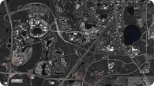
Port Expansion-2023, Change Detection
11.00%13.83°
SensorOptical
ResolutionUltra-High (30cm)
EarthquakeFlood
Price$12/km²
PurchaseView Details
Access research-grade imagery and time series for science, teaching, and validation.

Universities, research institutes, and students rely on high-quality Earth observation data to explore climate, land cover, hydrology, urbanization, and many other topics. Archived and newly tasked imagery supports scientific publications, field studies, validation campaigns, and advanced remote sensing methods.
With LandEye, researchers can discover multi-sensor datasets, build time series, and compare commercial imagery with open data. The marketplace helps streamline data access so that more time can be spent on analysis, teaching, and innovation rather than manual data collection.
Schedule high-frequency satellites dynamically over your specific Area of Interest (AOI) to capture crucial growing stages.
Learn more →Instantly search and pull historical spectral and radar scenes from our global catalog of top-tier Earth observation providers.
Learn more →Access analysis-ready datasets delivered as Cloud-Optimized GeoTIFFs (COGs) or customized integrations.
Learn more →


