

Existing Imagery
Browse archived satellite and aerial scenes that are ready for fast delivery.
- Ready to download
- Historical coverage
- Clear metadata and pricing

Your one-stop-shop for Earth observation imagery—powered by trusted providers, transparent pricing, and secure escrow for cross-border payments.

Locate imagery by place or coordinates, narrow results with tags, and access data across multiple sensor types.

Choose ready-to-use imagery from global catalogs or request a new capture for your exact area and timeline.
Browse archived satellite and aerial scenes that are ready for fast delivery.
Request a new capture based on your AOI, sensor, resolution, and time window.
LandEye simplifies the complete procurement workflow.
Draw or upload your area of interest and choose Satellite or Aerial, existing or tasking.
Set resolution, sensor type, time window, and cloud cover to see relevant options.
Compare per square kilometer pricing and delivery expectations across providers.
Funds are held until imagery is delivered and confirmed, then released to the provider.
Explore data by imaging technology and analysis requirements.
Natural-color and multispectral imagery for visual analysis, mapping, and land monitoring.
Common use case:
Land use classificationExplore SensorAll-weather, day-and-night imaging for change detection, floods, and infrastructure monitoring.
Common use case:
Flood detection, subsidenceExplore SensorDetailed spectral information for vegetation, minerals, materials, and environmental analysis.
Common use case:
Mineral explorationExplore SensorPaired imagery for elevation models, terrain mapping, and 3D reconstruction.
Common use case:
Terrain modelingExplore SensorDEM and DSM products for terrain analysis, planning, and engineering workflows.
Common use case:
Flood risk, slope analysisExplore SensorBrowse ready-to-download imagery across multiple sensors and providers

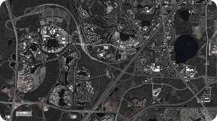

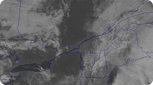

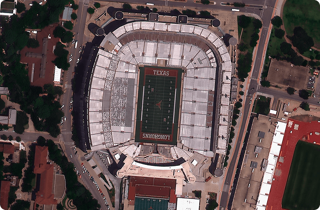
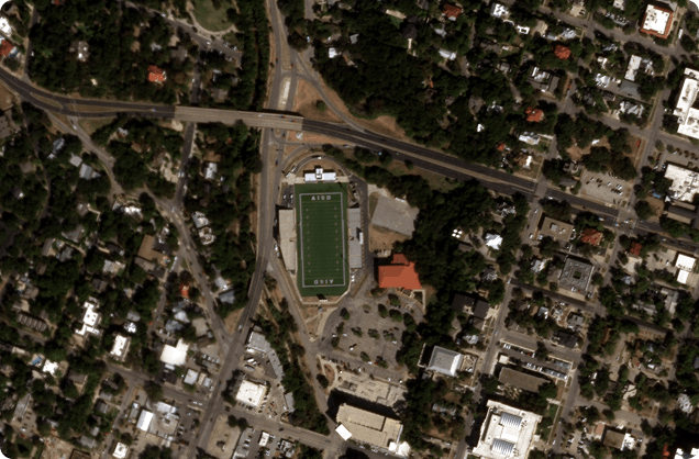
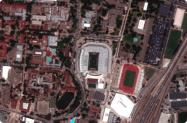
Consistently lower than elsewhere. No paperwork. Frictionless checkout.

Search by AOI & time. Clear filters & facets. Smart suggestions.

Verified global data sources. One hub, many sensors. Quality controls.

Escrow protection. Crypto supported. Receipts & invoicing.
Explore how industries use Earth observation data to make smarter decisions.

Satellite and aerial intelligence for borders, security, and critical national assets.
ExploreMonitor crop health, manage resources, and forecast yield with multi-sensor imagery.
ExploreInspect, monitor, and plan critical assets across oil, gas, power, and transport networks.
ExploreExplore how premium imagery supports rapid emergency response, compliance audits, and change detection.
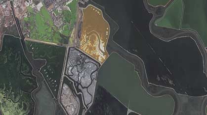


Partner with LandEye and showcase how your organization uses satellite imagery to drive change.
Access deep market analysis on GIS developments, satellite launch updates, crop metrics, and global monitoring trends.
Read InsightsNew to tasking? Learn how to draw exact coordinate polygons, select multispectral parameters, and export clean GIS files.
Browse GuidesFind clear structural details regarding custom pricing tiers, secure escrow safety, provider feasibility checklists, and fast delivery timelines.
Visit Help Center