

Task new captures
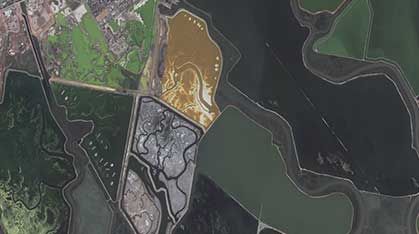
Schedule high-frequency satellites dynamically over your specific Area of Interest (AOI) to capture crucial growing stages.
Learn more →
Satellite and aerial intelligence for borders, security, and critical national assets.
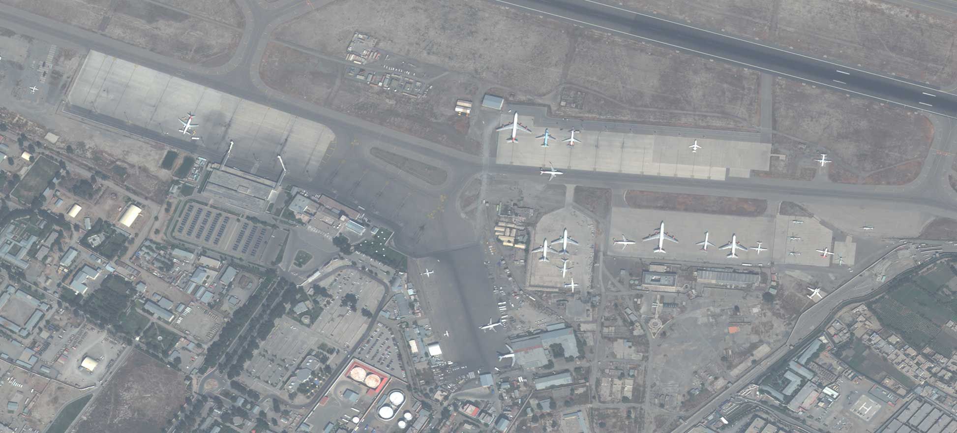
Government and defense agencies rely on Earth observation to monitor borders, protect critical infrastructure, and improve situational awareness. With high-resolution satellite and aerial imagery, teams can support GEOINT workflows, assess targets, and track activity across land and maritime domains in near real time.
LandEye brings together multi-sensor data—optical, SAR, and elevation—to help analysts detect change, measure impact, and coordinate emergency response. From defense mapping and surveillance to disaster impact analysis and public safety, imagery becomes a trusted layer in every decision.
Schedule high-frequency satellites dynamically over your specific Area of Interest (AOI) to capture crucial growing stages.
Learn more →Instantly search and pull historical spectral and radar scenes from our global catalog of top-tier Earth observation providers.
Learn more →Access analysis-ready datasets delivered as Cloud-Optimized GeoTIFFs (COGs) or customized integrations.
Learn more →