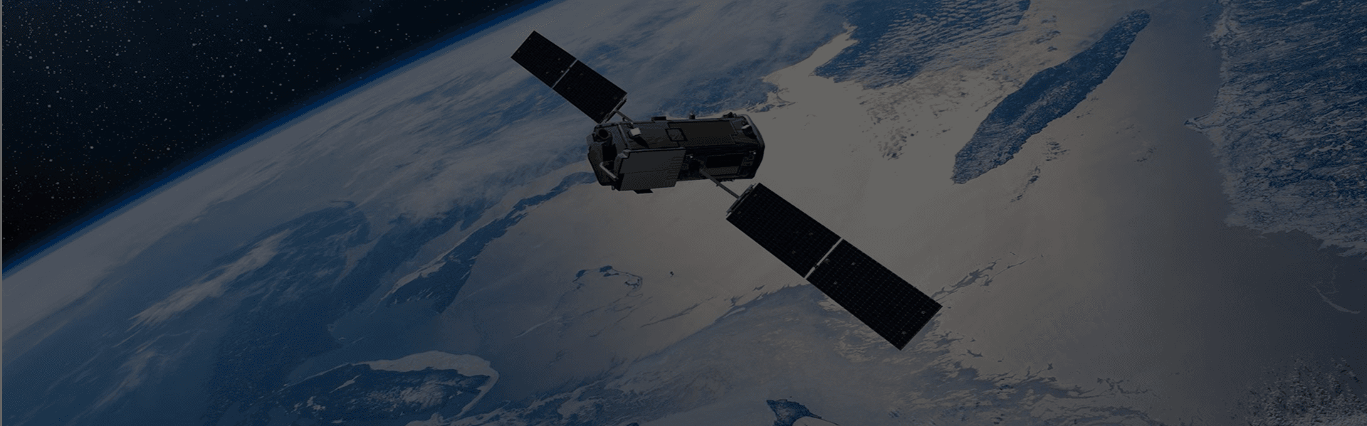


Task new captures
Schedule high-frequency satellites dynamically over your specific Area of Interest (AOI) to capture crucial growing stages.
Learn more →
Inspect, monitor, and plan critical assets across oil, gas, power, and transport networks.

Energy and infrastructure operators use Earth observation to keep assets visible, safe, and compliant—from pipelines and transmission lines to roads, rail, and industrial sites. High-resolution imagery, stereo models, and DEMs help track construction progress, detect encroachment, and plan maintenance with a clear view of ground conditions.
LandEye connects owners, operators, and engineering teams to multi-sensor imagery across corridors and remote sites. Whether you are screening a new solar or wind location, monitoring mining and extraction activities, or inspecting linear infrastructure over time, imagery provides an objective, repeatable record for planning and operations.
Schedule high-frequency satellites dynamically over your specific Area of Interest (AOI) to capture crucial growing stages.
Learn more →Instantly search and pull historical spectral and radar scenes from our global catalog of top-tier Earth observation providers.
Learn more →Access analysis-ready datasets delivered as Cloud-Optimized GeoTIFFs (COGs) or customized integrations.
Learn more →


