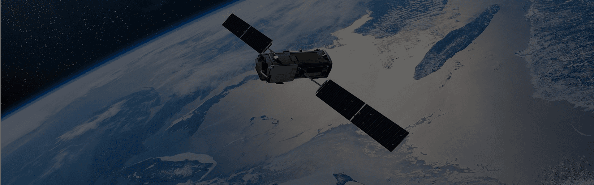


Task new captures
Schedule high-frequency satellites dynamically over your specific Area of Interest (AOI) to capture crucial growing stages.
Learn more →
Use satellite and aerial imagery to tell visual stories and verify events on the ground.

Newsrooms, media organizations, and investigative reporters increasingly turn to Earth observation as a reliable, visual source for storytelling and verification. Satellite and aerial imagery can document conflict, environmental change, infrastructure projects, and events in areas that are otherwise hard to reach.
LandEye provides access to imagery suitable for geospatial storytelling, documentary production, and evidence-based reporting. Journalists can work with before-and-after scenes, high-impact visuals, and multi-sensor data to add context, transparency, and credibility to their stories.
Schedule high-frequency satellites dynamically over your specific Area of Interest (AOI) to capture crucial growing stages.
Learn more →Instantly search and pull historical spectral and radar scenes from our global catalog of top-tier Earth observation providers.
Learn more →Access analysis-ready datasets delivered as Cloud-Optimized GeoTIFFs (COGs) or customized integrations.
Learn more →


