

Task new captures
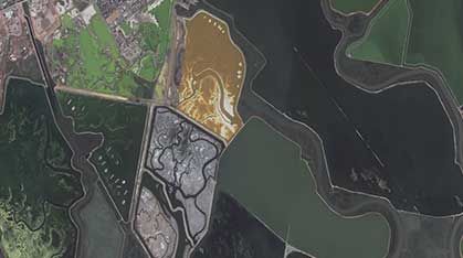
Schedule high-frequency satellites dynamically over your specific Area of Interest (AOI) to capture crucial growing stages.
Learn more →
Near-real-time geographic context for operational decision-making.
Situational awareness refers to maintaining an accurate and up-to-date understanding of conditions on the ground during dynamic events. Satellite imagery contributes by providing a comprehensive spatial overview of ongoing developments, enabling decision-makers to track evolving conditions, anticipate next impacts, and respond effectively as situations change.
Schedule high-frequency satellites dynamically over your specific Area of Interest (AOI) to capture crucial growing stages.
Learn more →Instantly search and pull historical spectral and radar scenes from our global catalog of top-tier Earth observation providers.
Learn more →Access analysis-ready datasets delivered as Cloud-Optimized GeoTIFFs (COGs) or customized integrations.
Learn more →

Order new captures or browse existing catalogs — all in one place.